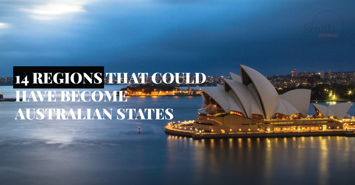
Queensland, Australia
The Torres Strait Islands, are a group of islands located within the Torres Strait, north of Cape York Peninsula, Queensland, Australia, and south of the island of New Guinea. This is composed of several islands scattered over around 18,500 square miles (48,000 square km) of water. The islands are usually distinguished by several geographic clusters: Western (low and alluvial, near New Guinea); Western (high, rocky, and barren, the largest being Prince of Wales Island); Central (coral); and Eastern (volcanic, with dense vegetation). The islands are generally rich in coral growth and marine fauna, the islands are thought to be remnants of a land bridge that once linked Asia and Australia. The present-day inhabitants are primarily of Melanesian origin, with some mixture of Polynesians and Southeast Asians.
Spanish navigator, Luis Vaez de Torres took note of the islands in 1606; but they did not become well known until much later in the 18th century when fishermen flocked to the islands looking for mother-of-pearl shells and bêche-de-mer (sea cucumber).
The Islands were claimed by Queensland in 1879, and inhabitants were deprived of many rights – including that to own land. Islanders have since fought legal battles to gain Australian citizenship and landowning rights. Many of which were dealt with in the High Court of Australia between the 1960s and 1990s and ruled in favour of the Islanders. In 1994, the Torres Strait Regional Authority was formed as it facilitates local autonomy.
Thursday Island
island, Queensland, Australia
Thursday Island is an island in the Torres Strait off northern Queensland, Australia. It is surrounded by a multitude of other islands of varying sizes. Thursday Island however serves as the administrative centre for the area. The principal town is Port Kennedy, on the eastern shore.
The population is largely made up of Malays, Chinese, Japanese, and Melanesians who are predominantly employed in the fishing industry. The island reaches a maximum elevation of 374 feet (113 metres) above sea level. With its neighbours, it was annexed to Queensland in the 1870s and was proclaimed a municipality in 1912. Area 1.25 square miles (3 square km).
Pop. (2006) 2,546; (2011) gazetted locality, 2,610.
Alfred Cort Haddon
British anthropologist
Alfred Cort Haddon, (born May 24, 1855, London—died April 20, 1940, Cambridge, Cambridgeshire, Eng.), is considered to be one of the forefathers of British anthropology.
Haddon excelled quickly in his academic career, writing several papers on marine life, and found himself appointed as a professor of zoology at the Royal College of Science, Dublin in 1880.
In 1888 Haddon went to the Torres Strait—the channel between New Guinea and Australia—to study marine biology; yet swiftly found himself more interested in studying the indigenous people.
After this trip, he solely studied and worked within the area of human societies. He moved to the University of Cambridge in 1893 teaching physical anthropology there.
In 1898 he organized and led the Cambridge anthropological expedition to the Torres Strait Islands, New Guinea, and Sarawak, this in turn led to several publications and accreditations; as he became the reader of ethnology at the institution.
Haddon’s publications cover a plethora of topics within human social life, from the anthropology of art to problems of racism. It’s believed that he has more than 600 published works, of which the most famous include: Evolution in Art (1895); Head-Hunters: Black, White and Brown (1901); Wanderings of Peoples (1911); and (with Sir J.S. Huxley) We Europeans (1936). He also published one of the earliest histories of anthropology, History of Anthropology (1910).
Prince of Wales Island
Prince of Wales Island is one of the biggest Islands within the Torres Strait connecting the Coral Sea with the Arafura Sea, 10 miles (16 km) northwest of the tip of Cape York Peninsula, Queensland, Australia.
It has an area of around 70 square miles (180 square km). The land is forest-like with rugged wooded areas. The island elevates to around 761 feet (232 metres). It has little arable land and no permanent sources of freshwater; there are no suitable landings for ships. The Pearl shell here was once exported, however with a decline in demand for this resource, this industry collapsed after the 1950s; which forced many islanders to migrate to Queensland; for more profitable work.
Coral Sea
sea, Pacific Ocean
The Coral Sea is situated in the southwestern Pacific Ocean, east of Australia and New Guinea; west of New Caledonia and the New Hebrides, and south of the Solomon Islands. It is about 1,400 miles (2,250 km) north-south and 1,500 miles east-west and covers an area of 1,849,800 square miles (4,791,000 square km).
The sea took its name from the multitude of coral formations which attract many tourists; a typical example is the great barrier reef which runs for 1,200 miles (1,900 km) down the Australian northeast coast. This body of water is a popular shipping route for goods transported between Australia and China.
The sea tends to have a subtropical climate and experiences several typhoons per year; especially between January and April. The Coral Sea offers a few economic opportunities including fisheries and petroleum deposits in the Gulf of Papua.